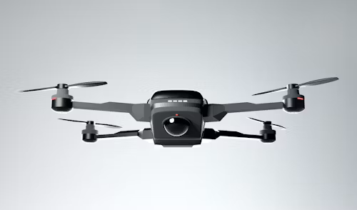
Welcome to Norads Aerial Services
Professional drone and aerial imaging solutions in Columbia, VA for commercial and industrial applications


About Us
Your Trusted Virginia Aerial Services Partner
Norads Aerial Services has been serving clients across Virginia with professional drone solutions since our founding. We pride ourselves on offering comprehensive aerial services with precision imaging and competitive pricing, ensuring your project needs are met efficiently and effectively.
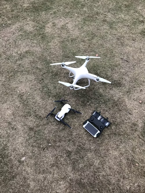
Aerial Photography
High-quality aerial imaging services for real estate, construction, and commercial applications
Video Production
Professional aerial videography for marketing, inspections, and documentation purposes
Mapping & Surveying
Precision aerial mapping and surveying services with accurate data collection
Inspections
Detailed aerial inspections for infrastructure, agriculture, and industrial facilities
Satisfied Clients
Years of Experience
Certified Pilots
Projects Completed
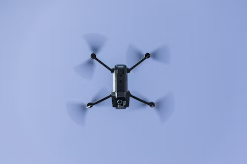
Our Services
Comprehensive drone and aerial solutions for Virginia businesses and industries
Aerial Photography
Professional drone photography services for real estate, construction progress, and commercial property marketing
Aerial Videography
Cinematic drone video production for marketing content, event coverage, and property showcases
Mapping & Surveying
Precision aerial mapping and land surveying with high-accuracy GPS and photogrammetry technology
Aerial Inspections
Detailed inspections for roofs, towers, solar panels, and infrastructure using high-resolution cameras
Agricultural Imaging
Crop health monitoring, field analysis, and precision agriculture services using multispectral imaging
Construction Monitoring
Progress tracking, site documentation, and volume measurements for construction projects
Why Choose Us
Discover what makes Norads Aerial Services your best choice for drone services in Virginia
Expert Aerial Solutions
At Norads Aerial Services, we combine technical expertise with exceptional customer service. Our certified pilots have the knowledge and experience to handle any aerial challenge, from simple photography to complex mapping projects.
Commitment to Quality
We're dedicated to providing the highest quality aerial services in Virginia. From using premium equipment to employing the latest techniques, we ensure exceptional results for your business needs.
- FAA-certified and fully insured drone pilots
- Upfront pricing with no hidden fees
- Quality workmanship backed by satisfaction guarantee
Frequently Asked Questions
Have questions about our drone services? We've compiled answers to some of our most common inquiries below. If you don't find what you're looking for, feel free to contact us directly.
1. What types of drone services do you offer?
We offer comprehensive aerial services including photography, videography, mapping, surveying, inspections, agricultural imaging, and construction monitoring. Our fleet is equipped with various sensors to handle diverse project requirements.
2. Are your pilots certified and insured?
Yes, all our pilots are FAA Part 107 certified and fully insured. We maintain proper licensing and insurance coverage to ensure safe and compliant operations for all our clients' projects.
3. What areas do you serve?
Based in Columbia, VA, we primarily serve Virginia and surrounding areas. However, we're available for projects throughout the region and can travel to meet specific client needs.
4. How long does a typical drone project take?
Project timelines vary based on scope and complexity. Simple photography sessions may take a few hours, while detailed mapping or inspection projects might require a full day or more. We provide detailed timeline estimates during our consultation.
5. What equipment do you use?
We utilize professional-grade drones from industry leaders like DJI, equipped with high-resolution cameras, thermal sensors, and RTK GPS systems for precision mapping. Our equipment is regularly maintained and upgraded to ensure optimal performance.
Our Team
The skilled professionals dedicated to excellence in aerial services

James Wilson
Chief PilotWith over 10 years in the aerial services industry, James specializes in precision flight operations and advanced imaging techniques

Sarah Johnson
Operations DirectorSarah coordinates our flight operations and ensures every project meets our high standards for safety and quality

Michael Brown
Mapping SpecialistMichael's expertise in photogrammetry and data processing has delivered accurate mapping solutions for countless projects
Contact Us Today
Reach out to Norads Aerial Services at 4581 Plink Dogwood Road in Columbia, VA for all your drone service needs. We're here to provide expert solutions with precision and professionalism!
Client Reviews
Don't just take our word for it - hear what our valued clients have to say about their experiences with Norads Aerial Services.

Robert Smith
Real Estate Developer
Norads Aerial Services has been our trusted partner for property marketing for over three years. Their attention to detail and consistent quality have been exceptional. They consistently deliver stunning aerial imagery that showcases our properties perfectly.

Lisa Thompson
Construction Manager
Their aerial mapping service transformed our construction monitoring process. The team provided accurate progress reports and volume measurements that saved us time and resources. The communication throughout the process was excellent.

David Wilson
Agricultural Producer
When we needed crop health analysis for our farm, Norads Aerial Services delivered beyond our expectations. Their multispectral imaging identified problem areas we couldn't see from the ground, helping us address issues early and improve yields.